

By DANA TIMS/YachatsNews
Anyone seriously thinking about hiking the length of Oregon knows about the Pacific Crest Trail. The 430-mile segment was first explored in the late 1930s and continues to attract thousands of dedicated backpackers each year.
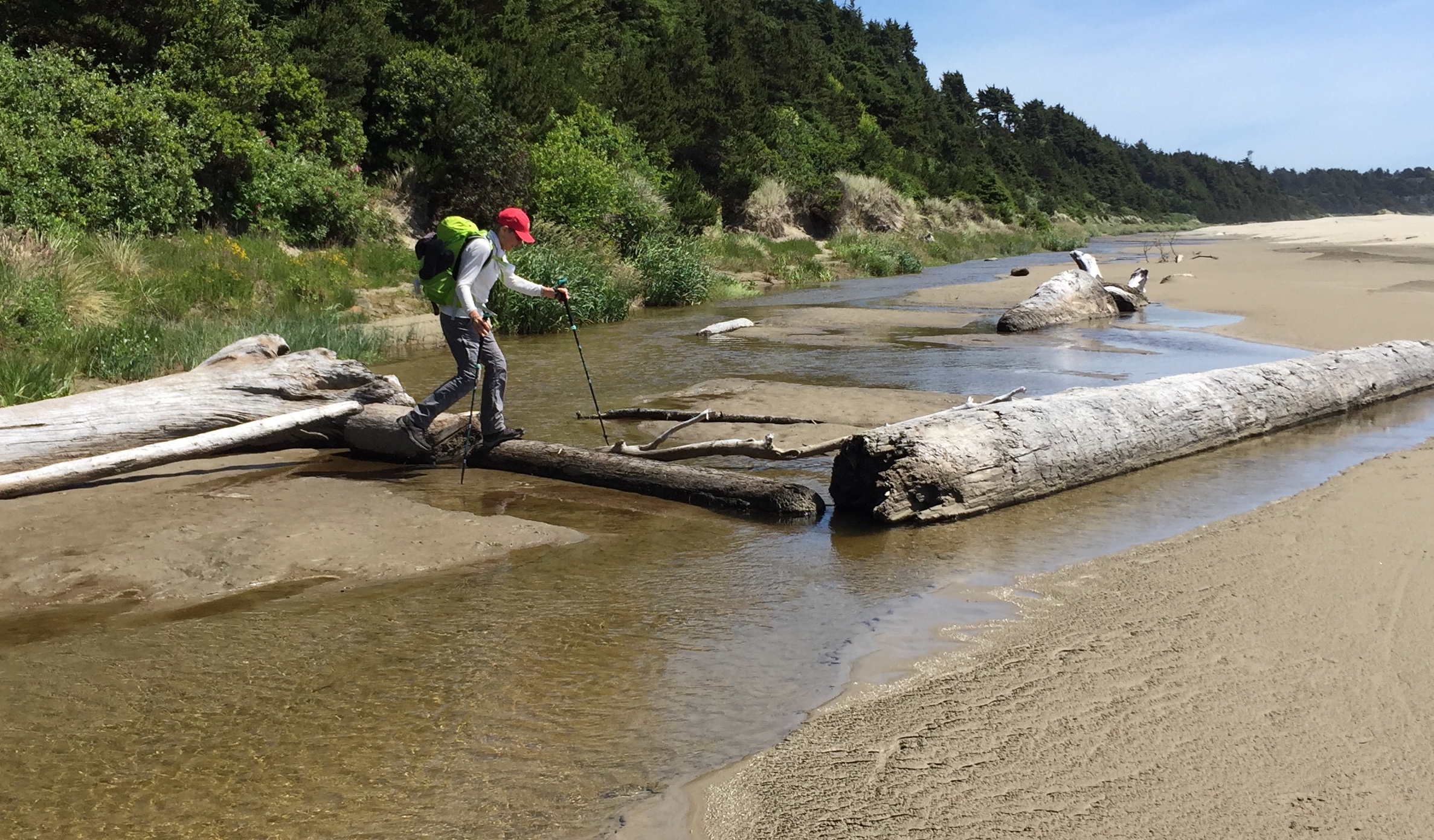
Its coastal equivalent is the 400-mile-long Oregon Coast Trail, which just reached a milestone of its own with the publication of a state-sponsored plan aimed at closing existing gaps and helping trail users overcome obstacles such as where to camp, find water and cross various rivers and bays.
The plan repeatedly uses the term “aspirational,” meaning that the money needed to close many gaps may be years away from being secured.
But Oregon Coast Trail planners and users say they are confident that steps now being taken will be more than sufficient to make the trail a world-class experience for anyone wanting to explore the state’s coastline on foot.
“The big changes may take a while, but it’s important for people to know it’s very hike-able right now,” said Eugene writer Bonnie Henderson, whose book, “Hiking the Oregon Coast Trail” is considered a must-have for OCT adventurers. “It’s not a thing that someday you might be able to tackle it.”
Going off road
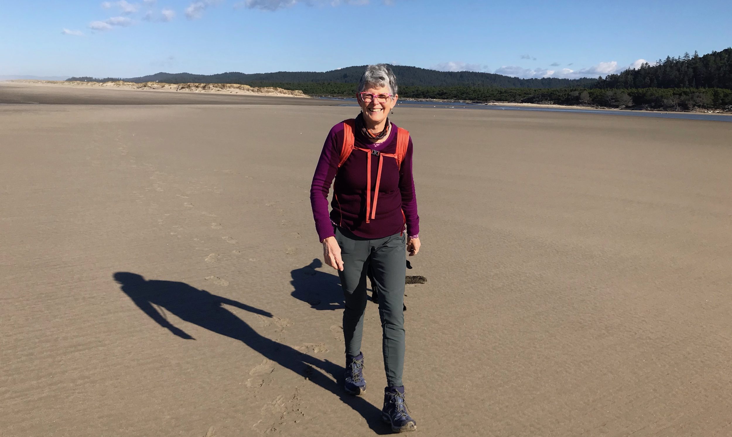
Henderson, who splits her time between Eugene and the coast, has been writing about the trail since 2008. Every year, she said, more and more users are using the trail — half of which is on the ocean beach.
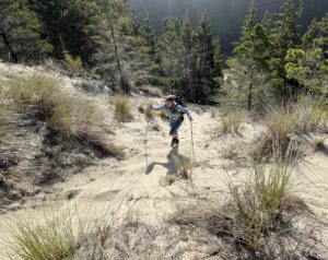
“A lot of that is because anyone studying the trail realizes it’s just not true that a lot of it involves hiking along the highway,” she said, referring to U.S. Highway 101. “There are actually a few highway stretches. For any long-distance hiker, it’s not a big deal to have, say, five miles at a time on what is usually a wide and well-protected shoulder.”
The new Oregon Coast Trail action plan, commissioned by the Oregon Legislature, is aimed at, among other things, reducing any direct highway exposure even more.
Some of the 40 gaps in the current trail, for instance, could be bridged by development of river taxis that users could summon via their cell phones or advance arrangements.
These services are already available, although informally, for Nehalem Bay, Tillamook Bay and the Umpqua River. The action plan identifies additional opportunities at Netarts Bay, the Nestucca River, north Coos Bay and the Coquille River.
“Establishment of these services would be a big win for the Oregon Coast Trail,” said Jenna Marmon, project leader for the Oregon Department of Parks and Recreation. “Water taxis are a unique experience you won’t get on a lot of hikes.”
The 93-page plan also lists additional obstacles, such as gaps in drinking water and restroom availability, signs and camping areas.
It notes, for instance, the 18-mile stretch between South Beach State Park near Newport to Beachside State Recreation Site south of Waldport where no developed camping is available. Also, the plan says, there is a need at Heceta Head for a new trail that crosses Highway 101 with an overpass. The trail would then use a combination of “cantilevered structures, retaining walls, and viaducts” to continue the new trail west of the highway.
As with some other proposed fixes, this solution is expensive enough that its price tag is not calculated, but is instead labeled as “aspirational.”
A look back
As with other gaps identified in the plan, proposed solutions most often involve working with coastal counties and cities, other state and federal agencies, private landowners and Native American tribes.
The latter is particularly poignant, according to the plan, because “trails have always been fundamental to the human geography of the Oregon coast. Native trails traditionally followed the beaches, linked by trails over headlands and canoe portages across major waterways.”
It adds, “Native communities often monitored, maintained, and sometimes marked those trails. These trails kept villages linked together, even when ocean conditions were too rough for canoes.”
“Everyone working on this is very aware of the historical significance of the Oregon Coast Trail,” Marmon said. “And we are confident that the plan that’s been produced will reflect that by not just ending up sitting on a shelf somewhere.”
The check, please
Still, all the optimism in the world won’t drum up the potentially millions of dollars needed to bring the plan to fruition. Although a bottom-line price tag is not included in the plan, cost estimates for closing the 40 identified gaps in the existing trail are daunting.
Some examples of the highest end expenditures include:
- $21.5 million to link the planned Salmonberry Trail to existing marina and water crossings to the Bay Ocean Spit at Tillamook.
- $9.2 million to establish water-taxi service between Nehalem Bay State Park and existing marinas.
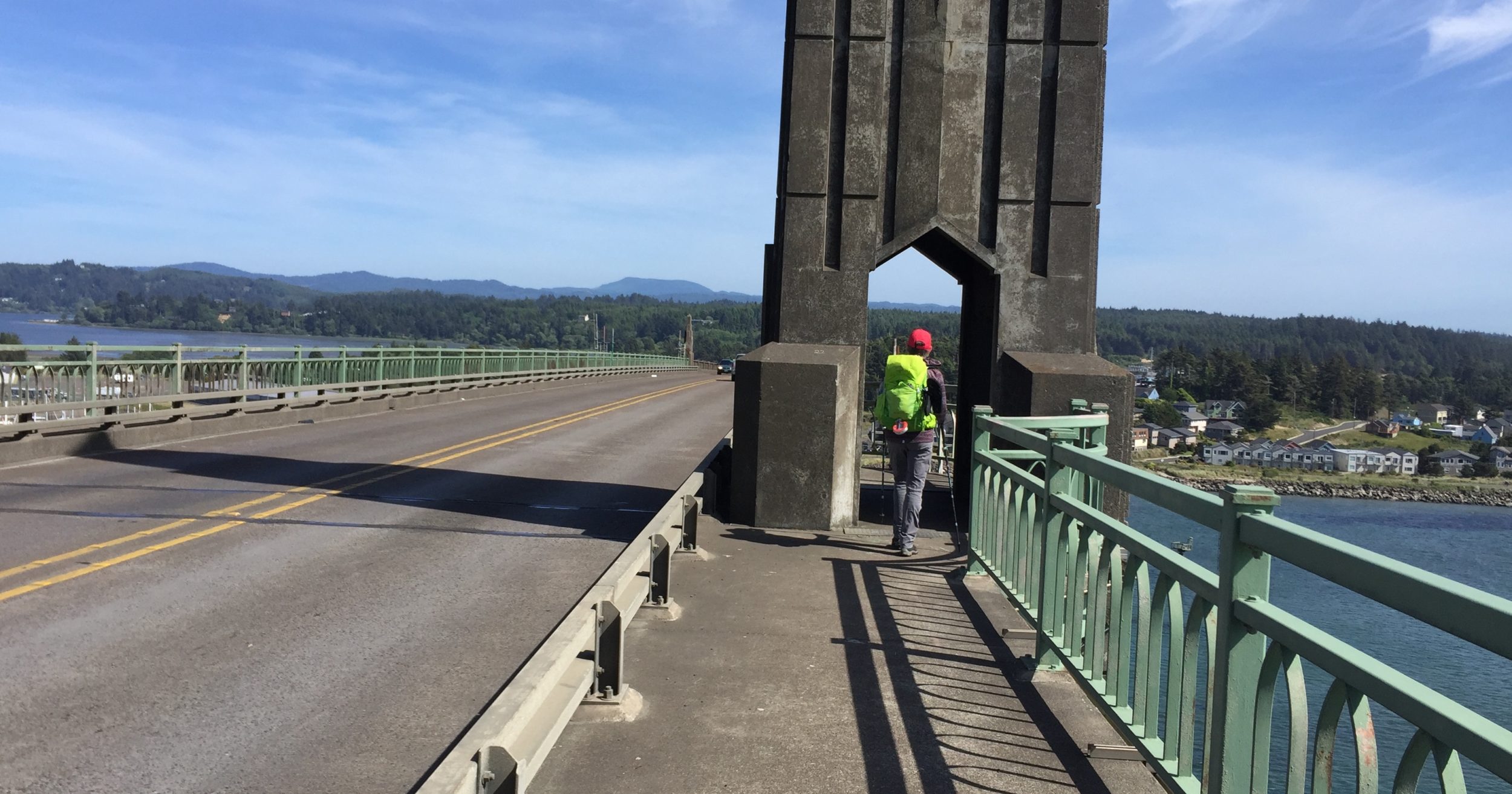
- $2.6 million to reconfigure traffic lanes or widen a culvert over Mill Creek to allow hikers to cross the Necanicum River on the north coast.
- $2.5 million to widen Highway 101 at Waldport to allow a promenade.
To be fair, each proposed solution comes with “primary” and “alternate” plans and cost estimates. Others include an “aspirational” option for which cost is not calculated, but could take 20 or more years to complete.
“The plan has some really big projects and some that are far, far smaller in scope and possible price,” Marmon said. “A new pedestrian bridge, obviously, is going to cost a lot more than areas where simple signage might work.”
Paired with cyclists

A few areas of the route coincide with the Oregon Coast Bike Route, a 370-mile trek that sees upwards of 10,000 cyclists a year. In these sections, planners for both projects might be able to work together to secure needed funding that could benefit both hikers and bikers, said Jenna Berman, an Oregon Department of Transportation liaison to the Oregon Coast Bike Route.
“There are some places where bike route folks are on the road with trail hikers,” she said. “We’ll definitely be looking for opportunities to design those spaces to accommodate both user groups.”
The most likely source of big ticket funds for both projects will be from the federal government, Berman said.
Among the exceptions is the ongoing planning in Yachats to install delineators on Highway 101 south of town to protect bikers and hikers from vehicle traffic.
Also due out by next hiking season is the smart-phone mapping system of the Oregon Coast Trail that writer Henderson has been helping with over the past year. Real-time information available to hikers will include reports from other trail users on exactly how high or low the tide has to be in certain locations to guarantee a safe stream crossing.
“There are still a lot of things going on that will make walking the Oregon Coast Trail a marvelous experience,” Henderson said. “It’s pretty spectacular right now, but we are all confident that this will be an experience that any trail user will not want to miss.”
- Dana Tims is an Oregon freelance writer who contributes regularly to YachatsNews. He can be reached at DanaTims24@gmail.com


Be helpful if whoever plans the Oregon coast trail would speak with people (some open houses?) With participation live and online platform. At one time, the Oregon Coast trail was shown as going up a beach bluff via paths (used by people in the neighborhood) that goes over private land to reach a public road. I tried to get in touch w/someone on this issue, was referred to someone in state parks, and provided with an email address. I emailed that person several times over the next few months, never got reply. I noticed the Oregon Coast Trail marker eventually disappeared, I don’t know if it was vandalized, destroyed or removed. That particular trail(s) isn’t maintained–if someone in the neighborhood has the energy to an improvement, he/she/they do it, but often there’s no maintenance after a few years, rain, erosion, use, takes its toll on the improvement. Mostly, it’s not smart or useful to call something part of public trail if it goes over private land and the trail is at best only sporadically maintained by a few volunteers. Other then that, it’s a nice idea.