

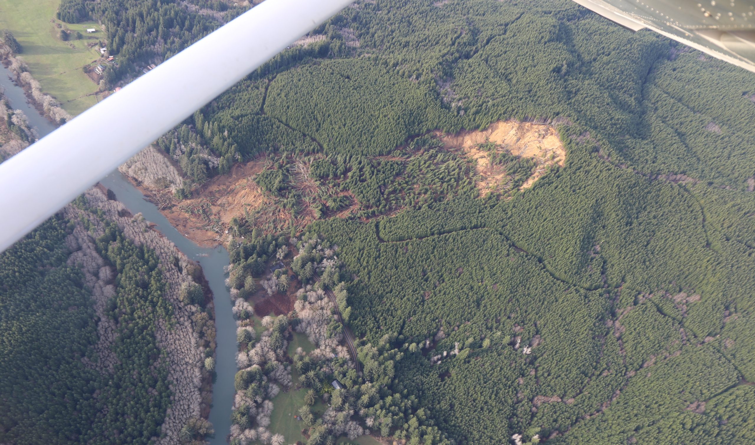
 An aerial photo taken from about 2,000 feet elevation in late December shows the massive Dec. 12 landslide that destroyed three houses and buried a quarter-mile section of Oregon Highway 229 about 10 miles north of Siletz. (Photo by Eric Squires)
By DANA TIMS/Lincoln Chronicle
One of the largest landslides in recent Oregon history just keeps lobbing surprises at the highway engineers charged with somehow repairing the one-mile stretch of Oregon 229 between Siletz and Kernville.
Here it is the height of a hot, dry summer, and some areas of the massive slide still have water pooling in them.
One engineer surveying the site recently took a step forward only to find himself hip-deep in mud, Mindy McCartt, an Oregon Transportation Department spokeswoman, told the Lincoln Chronicle on Tuesday.
“They all thought ‘Why is water still pooling up there?’ ” she said. “ ‘Why aren’t things drying out at this point? What’s the condition of the earth below the slide that’s not allowing for drainage?’ ”
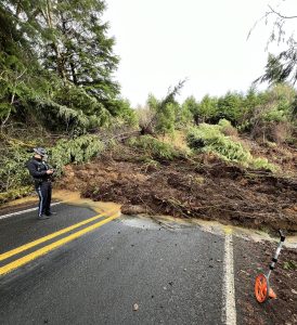 An Oregon State Police trooper takes cell phone pictures shortly after the Dec. 12, 2025 landslide swept across Highway 229, cutting off direct access between Siletz and U.S. Highway 101. (ODOT photo)
The search for geological answers at the landslide north of Siletz will quicken in coming weeks as workers move heavy in equipment to prepare for subsurface investigations. The work is considered a critical step toward designing the highway repair.
Although much of the work will take place underground, McCartt said travelers and nearby residents can expect to see considerable activity in areas near the slide. Beginning this month, for instance, crews will use equipment to build temporary access paths for drilling machinery to safely reach investigation sites.
Actual drilling is expected to commence in mid-August and last through the end of October. The drilling will enable engineers to collect rock and soil samples and install monitoring equipment in the various drill holes.
The goal of the investigation is collecting enough information to better understand how the landslide moves over time and how groundwater affects slope stability, according to an ODOT news release. The subsurface investigations will help engineers map underground soil and rock layers, determine how deep the landslide extends, measure groundwater levels, monitor ground movement, and, design long-term highway repairs and slope stabilization measures.
As many as 400 vehicles a day used the highway prior to the Dec. 12 landslide, according to state traffic data. Drivers who once needed only about 20 minutes to travel from U.S. Highway 101 through Kernville south to Siletz must now take a detour that more than triples that time.
Part of the ongoing work involves efforts by state highway engineers to explore what it might take to build a temporary road near the existing highway. Any temporary road is expected to be no larger than two lanes and wide enough only for cars, school buses and garbage trucks.
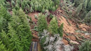 An aerial photo by the Oregon Department of Transportation shows the depth of the Dec. 12, 2025 landslide that buried a section of Highway 229 north of Siletz. (ODOT photo)
The state is continuing to track costs associated with the emergency response and investigation. That’s important because the state declared an emergency following the landslide, making eligible work can qualify for reimbursement through the Federal Highway Administration’s Emergency Relief Program, according to the ODOT release.
No cost estimate has yet been determined for the permanent highway repair. Additional engineering and subsurface investigations are still needed before repair alternatives can be designed and construction costs estimated, the release said.
- Dana Tims is an Oregon freelance writer who contributes regularly to Lincoln Chronicle and can be reached at [email protected]


















Just another sign that we’re a failed nation is that it will take years for this to open.
If this were I-95 between New York and Boston I would agree with you.
I think you fail to appreciate the size and seriousness of a landslide like this.
Your reporting is incorrect, the slide is one mile long from top to bottom and it’s only 1/4 mile wide. Also the reason water is pooling is that there is a small creek that ran along the edge of where the slide broke. There was a small culvert there that was always clogged with branches and leaves. It’s not rocket science they need to lay a culvert where the creek was. It is a big slide but it’s not near as big as you keep reporting.