

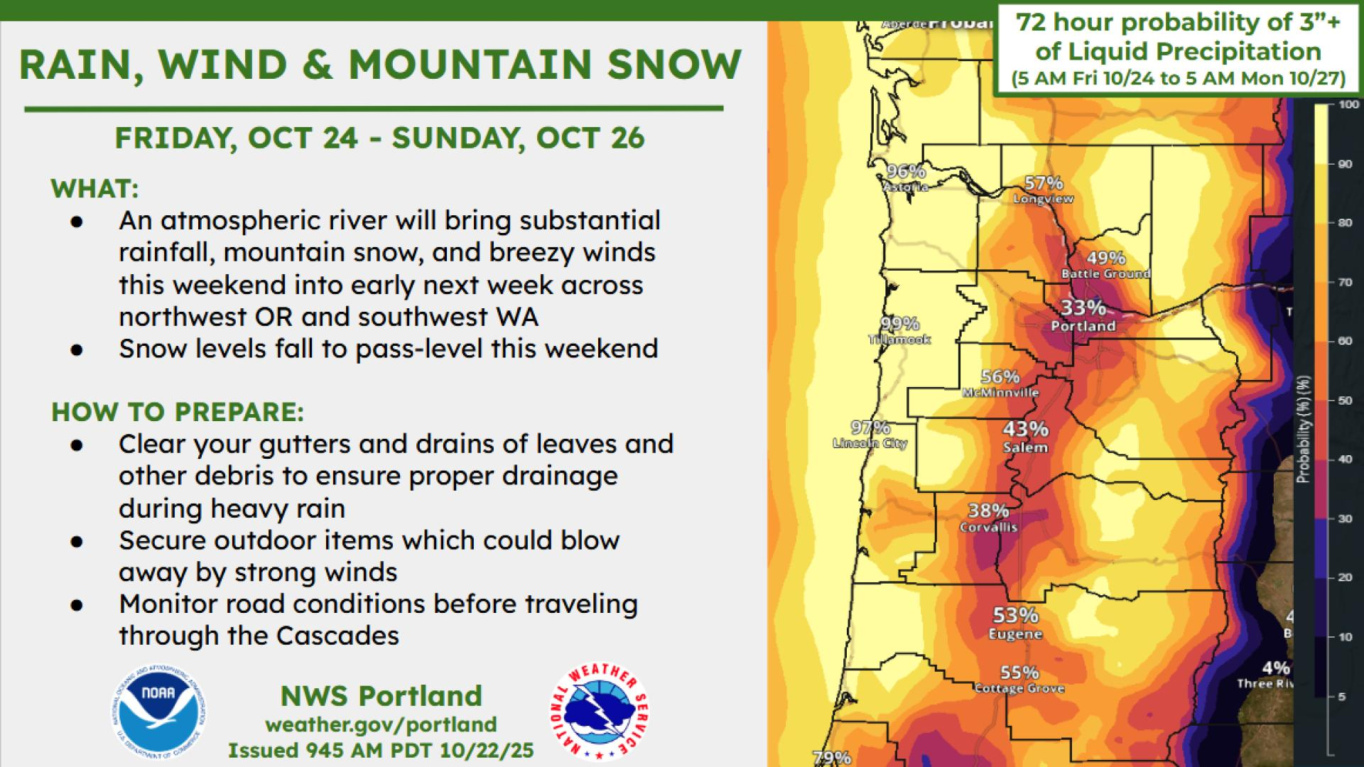
Get ready for inches of rain and some high winds through the weekend as the first big storm of the fall hits the central Oregon coast beginning Thursday night.
The National Weather Service says the central coast could get up to three inches of rain between Friday and Sunday accompanied by wind gusts of up to 60 miles per hour.
The Weather Service and U.S. Coast Guard also issued warnings for high surf and sneaker waves that will pose a danger to people on the beach, rocks or jetties. A Corvallis woman drowned Sunday when she was swept off the beach in Lincoln City by a sneaker wave and pulled out to sea.
Here’s the forecast for the central coast:
Friday: Windy, with a south/southwest wind 23 to 25 mph, with gusts as high as 40 mph. Chance of rain is 100 percent with 1-2 inches possible.
Friday night: Showers. Low around 50. Windy, with a south wind 17 to 23 mph. Chance of rainis 100 percent with new rain amounts between a quarter and half of an inch.
Saturday: Showers and possibly a thunderstorm. High near 55. Very windy, with a southwest wind 29 to 34 mph increasing to 36 to 41 mph in the afternoon. Winds could gust as high as 46 mph. Chance of precipitation is 100 percent. New rainfall amounts between three quarters and one inch possible.
Saturday night: Showers and possibly a thunderstorm before 8 p.m., then showers between 8-11 p.m., then showers and possibly a thunderstorm after 11 p.m. Very windy. Chance of precipitation is 100 percent.
Sunday: Showers and possibly a thunderstorm. High near 53. Breezy. Chance of precipitation is 100 percent.
The Weather Service said it issues beach hazard statements when sneaker waves create potentially life-threatening conditions in the surf zone. It urged people to use caution when near the and to keep an eye on the waves. Waves can run up significantly farther on a beach than normal, including over rocks and jetties, it said.